In February each year, the brightest minds in geospatial technology gather in Banff, Alberta, for the NORTH51 conference. Last year, the 2020 theme, ‘Off the Map,’ represented the continuous evolution of geospatial technology and highlighted the incongruous rise in the reliance on location-aware systems and the decline in public understanding of the role such systems play in our lives.
Little did all attendees and speakers know at that time what the rest of 2020 would bring. Now, as we are a few months into 2021 and in a post-pandemic world, reflecting on last year’s discussions at NORTH51 ‘Off the Map’ are more fascinating than ever. We have asked ourselves at TECTERRA what has and continues to surprise us about COVID-19 and its impact on the world, specifically, geospatial technology. However, during our reflection, we became more interested in what the brightest minds in geospatial technology thought about the past year and how they are looking to the future.
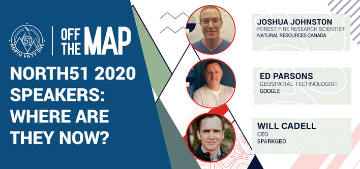
We sat down with three industry leaders that we were also fortunate to have been keynote speakers at NORTH51 ‘Off the Map’: Joshua Johnston, Forest Fire Research Scientist with Natural Resources Canada, Ed Parsons, Geospatial Technologist with Google, and Will Cadell, CEO of SparkGeo. They shared with us how they are challenging and evaluating a post-COVID-19 world:
Q: When reflecting on the talk you gave at the NORTH51 2020 Conference, what has surprised you the most about geospatial technology evolution in the past year?
Joshua Johnston: NORTH51 2020 really introduced me to the idea that disruption is essential to innovation. Nothing has ever been more disruptive than COVID-19, and the innovative uses of geospatial technology in fighting it (e.g. contact tracing/modelling) has been a remarkable feat of global innovation.
Ed Parsons: NORTH51’ Off the Map’ seems like it took place in an entirely different pre-COVID world; most of us will have had an unexpected 2020. In some ways, I am disappointed that the insight that could come from the pandemic’s geospatial analysis was not more evident during the year. The spread of an airborne virus is by its very nature something with a large degree of geographical determinism, the widespread seeding of the virus across the whole of the UK compared to more regional outbreaks in other countries and only relatively recently being recognized, for example. In Europe and North America, the use of geospatial technology beyond simple proximity sensing has been explicitly rejected for contact tracing of COVID cases. In contrast, some East Asian countries use both contact tracing and proactive quarantine management based on Geospatial Technology in mobile phone apps or dedicated devices. Once again, this innovation illustrates the ethical implications of Geospatial Technology, and it is no longer something the industry can ignore.
Will Cadell: Where landscapes change, and humans move, there is value. That has only proven more true since the pandemic began; now, we have witnessed what happens when movement slows. I still believe that if we were to study a Venn diagram of “self-identifying-geospatial people” vs “everybody else,” we would be illustrating that we have only been serving those who already understand what we do. Our community needs to get out of our self-constructed echo-chamber and start delivering geospatial insight into markets where we never have before.
Q: Where do you foresee the development and the reliance of location-aware systems heading for 2022?
Joshua Johnston: The onset of the 2020 pandemic has profoundly impacted the trajectory of advancements in the wildfire management field. In the next few years, as we attempt to return to “normal,” I expect to see a surge in the appetite for innovative changes to standard procedures, fueled by the inability to maintain the status quo and strong support for economic stimulus. In short, the world has been deeply disrupted, and even the most resistant quarters to change are open to new ideas.
Ed Parsons: We will see a shift in the scale of location-aware systems to focus much more on human-scale interaction. Proximity-based solutions tightly integrated with the many personal devices we carry with us or have in our homes will power this change. These changes will require us to think beyond traditional geometry data models we have historically used to systems powered by image and scene recognition with greater semantic understanding. Maybe not this year, but soon I want to be able to ask my digital assistant - “Where did I put my keys?” and for it to reply, “They are downstairs in the hall table drawer
Will Cadell: We have an opportunity, one to grasp. Stop thinking about geo as a vertical and start thinking about it as a horizontal. Geospatial is everywhere.
.jpg)