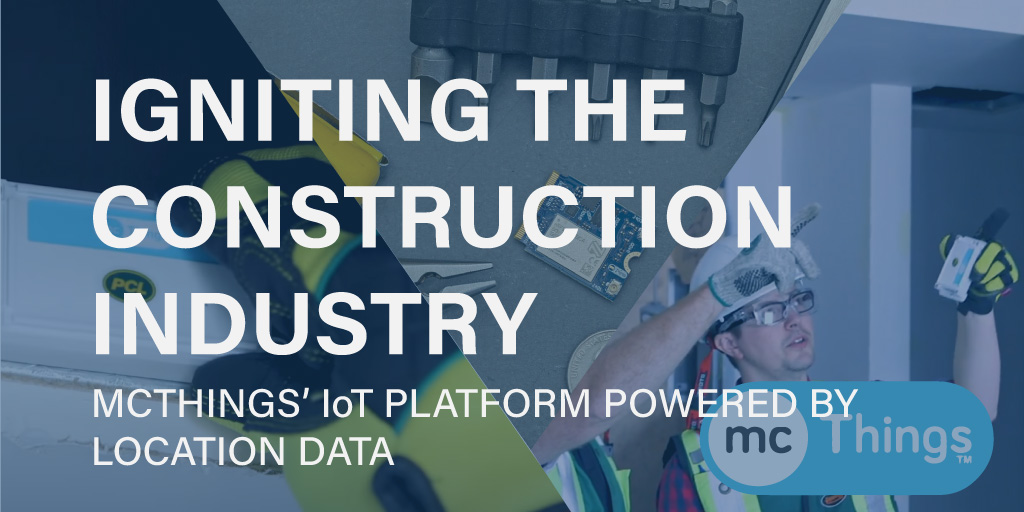
Most of the world uses geospatial technology every day, whether users know it or not. Geospatial technology has not only filtered into everyday life, it is also being used in most industries in 2021. mcThings has created a disruptive IoT platform incorporating geospatial technology being used daily for the construction sector. Most of their users do not know they are using geospatial technology to make their day-to-day work easier. mcThings' Roving Gateway solution is for organizations with many geographically distributed assets who need to keep track of their assets and optimize operational efficiencies within the construction sector. Being a low-power LTE-M asset tracker, the Roving Gateway can share its LTE-M coverage to lower-cost devices, thus lowering the cost to track many assets. Currently, mcThings has collected over a billion data points monitoring buildings and assets, revolutionizing how construction sites are run and managed. mcThings has provided access to data and context to the gathered data that wasn't possible before the Roving Gateway came onto the market. mcThings has created a disturbance in how the system of a construction site operates, truly making previous data collection methods obsolete.
mcThings had two goals in mind when creating the Roving Gateway system. First, create a system with high ease of deployment with low power usage. Second, to provision a piece of technology to ensure it makes its users' lives easier, not harder. To meet the first goal, mcThings created a system with sensors that have software deployed to each sensor that collects critical data and operates on two AA batteries with a life expectancy of 5-10 years. The sensors have two categories of data they collect. One is contextual data on variables like temperature, humidity, strength tests for concrete, measurements, etc. And the second is the sensors collecting geospatial data. "The most profound thing about using geospatial technology is that you can remove the barrier of knowing where something is happening," explains Tom Groenland, CEO of mcThings. "You can collect tens of thousands of pieces of information from tens of thousands of devices, but if you don't know the geospatial context of the information, then that data is essentially useless. Fundamentally the geospatial aspect is critical for our customers to get context of the information they are receiving." To meet the second goal, mcThings ensured their sensors had a straightforward implementation that drove operations and efficiencies within asset management and productivity without getting in the way or creating more work for the workers on site. To set up the system and gather critical data, a sensor is placed on the site, whether it is to monitor humidity or track a screwdriver. A worker registers an identification key and the software is up and running.
By implementing the Roving Gateway software on construction sites, using pencil and paper are now obsolete. mcThings allows workers to focus on building and the sensors to collect the data coming through and in turn send that information to the right people at the right time. The sensors provide accurate data and information in proper context to allow for decisions to be made to increase onsite efficiencies. Acquiring real-time data for temperature and humidity on a skyscraper allows the foreman to know when to turn on or off heaters and effectively dispatch their crews. Having accurate and precise data for that specific variable can save over one hundred thousand dollars in propane costs on one project alone. Filtering out irrelevant information being uploaded to the cloud and focusing on providing critical reporting directly to a cellphone for effective action is ground-breaking technology for the construction industry as it concerns building management and asset tracking.

Asset tracking has traditionally been for insurance purposes. However, in 2021, asset tracking is so much more. A key driver in why mcThings focused the Roving Gateway system on asset tracking for the construction industry is the geospatial technology driving the impact of the data being collected, analyzed, and translated into actionable, contextual information. "Having access to the right things at the right time at the right location and making sure all those things align - not one, not two of them - all of them, that has to align for you to be actually operating efficiently," says Groenland. Proactive management of assets has streamlined the way construction sites are being managed at every level within a project's operations. Working onsite and knowing where an item is boosts efficiencies by ensuring things are in the correct location. The amplified efficiencies are being driven by the reporting powered by location data that mcThings has introduced into the construction sector.
The impact of having access to data in relevant context provides actionable outcomes and is driven by the geospatial technology mcThings has integrated into the Roving Gateway software system. Additionally, running the software system on LTE-M technology allows assets to be tracked from anywhere in the world. Every aspect of the Roving Gateway system has been based on optimization, and the real advancements in the possibilities of mcThings technology are just opening up. Advances in two-way communication of data and precise fixed location technology coming in the near future will enable innovative tracking of every screwdriver, piece of wood, and machine on a construction site. Having that level of rapid precise insight, paired with A.I. machine learning algorithms allows discovery of how and when to place items on a construction site in 3D space and time. This will give construction companies awareness of the ideal location for each item to be placed on a site, and when. Further, it can also provide information on how each truck is going to and from the sites needs to be loaded, decreasing the constant problem construction projects have of how to optimize storage and decrease time spent waiting for assets to arrive at the site.
Every day comes with a new digital transformation within industries by using geospatial technology. mcThings has introduced a system that has and will continue to govern innovation for the construction sector. Upon observing driving factors behind geospatial technology it is clear the power behind location data paired with other variables has and will continue to command attention within many new emerging businesses. This revolution within data mining and gathering will only multiply the number of people using geospatial technology every day without even knowing it. Geospatial technology is no longer an experts-only technology. Solutions and systems like the one mcThings have created that disrupted an entire industry will snowball and unearth new ideas and projects incorporating geospatial technology further within businesses' value chains. Learn more about mcThings here.
.jpg)